

Protecting Your Land Investments Across Kentucky & Tennessee Since 1984.
Why A Survey Is Your Property’s Shield
Your Deed is Only Paper: A deed describes your land in words, but only a licensed surveyor can physically lock those words down on the actual ground.
PVA and Tax Maps are for Taxes, Not Boundaries
County GIS and tax maps are wonderful tools for property valuation, but they are not legally binding boundary lines. Because they are created by layering aerial photography over historical records, these digital lines can easily be off by dozens of feet. Only a licensed professional land surveyor can determine your actual, legal property lines on the ground.Fences and Property Lines: The 15-to-20-Year Rule
Just because a fence is misplaced doesn't mean it stays invalid forever. In Kentucky, a fence standing for 15 years can legally become the new boundary line. In Tennessee, that timeline is generally 20 years. If a fence has been mutually accepted and treated as the property boundary for these statutory periods, the law can officially recognize it as the true property line. A professional survey and legal guidance are required to resolve these specific disputes.
Protect Your Title Insurance: Title insurance companies often exclude boundary disputes from coverage unless you have a fresh, certified professional survey.
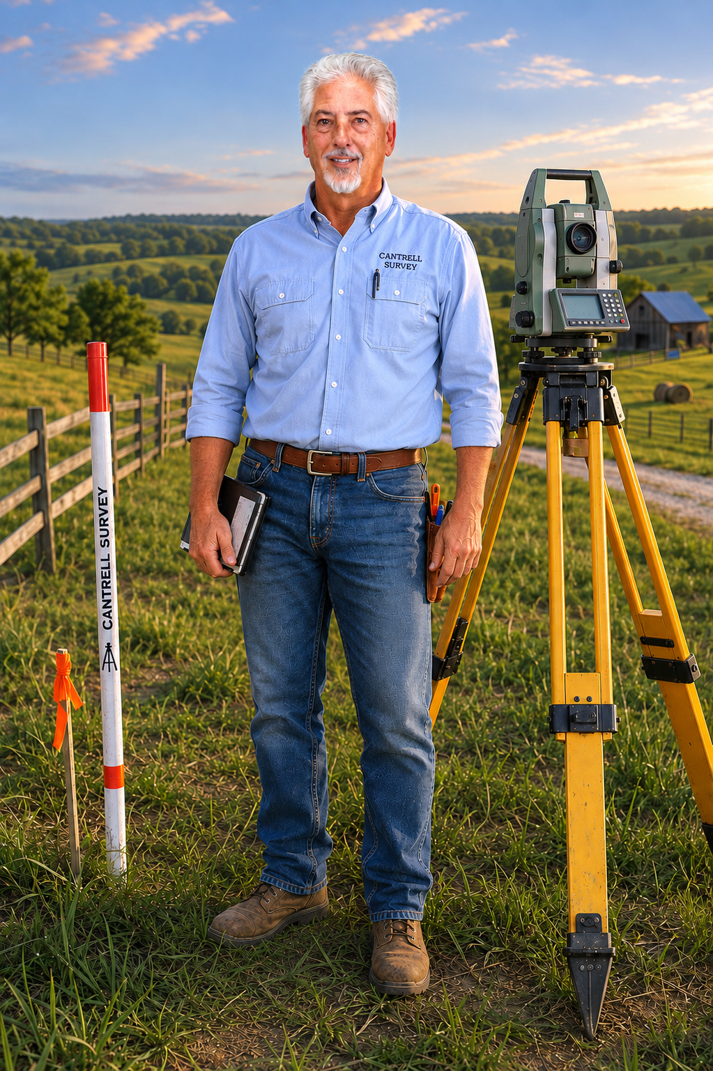
Meet Your Surveyor: Four Decades of Elite Experience
Since 1984, founder Mark Cantrell has been helping property owners, attorneys, developers, and businesses define and protect their land throughout the Southeast. In 1996, he established Arrowhead Survey in Tennessee, building the company into one of the region’s trusted surveying firms before its sale in 2021.
Today, Arrowhead Survey has returned under its original name, bringing more than four decades of professional surveying experience to Central Kentucky. Licensed in both Kentucky and Tennessee, Mark combines technical expertise with a practical understanding that every survey represents someone’s investment, livelihood, and legacy.
When you hire Arrowhead Survey, you’re working directly with a surveyor whose reputation has been built one property at a time.
How Can We Help You ?
Residential & Fences
Finding true property lines before you build, fence, or buy a suburban home.
Farms & Rural Tracts
Mastering vast Central Kentucky acreage, historical deeds, and family subdivisions.
Commercial & Construction
High-precision ALTA/NSPS surveys and construction staking.
Proudly Serving LaRue County, Hardin, Hart, Grayson, Green, Marion, Nelson, Taylor and Surrounding Central Kentucky Counties

Ready To Protect Your Property? Let’s Talk.
Every piece of land is unique. Contact Cantrell Survey today for a consultation on your property lines.